REAL SPACE
TeeLabs’ Mapping KIT
-
 WALK
WALK10mins for 1,500㎡
-
 TRANSFER
Raw Data Transfer
-
 ENTER
ENTERAutomatic Process
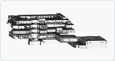
DIGITAL MAP

-
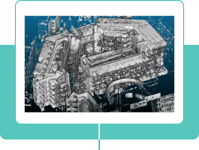 3D Point Cloud Data (PCD)
A high-precision 3D map with LiDAR-level accuracy is represented in the form of point cloud data.
-
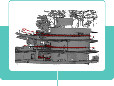 Operator’s Trajectory
The paths walked by the operator can be tracked.
-
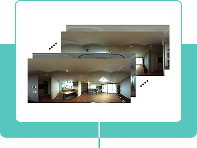 Realistic 360 Images
360-degree photos taken in the space are accurately linked to their locations.
-
Scanning H/W
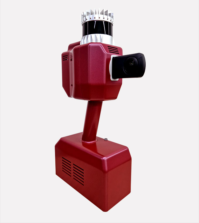
Acquires precise depth information and vivid
images of real spaces with its LiDAR sensor and
360 camera.- Precise LiDAR
- : 32 channel up to 50m
- 360 Camera
- : 7296x3648 for every 3 sec
- Quick Scan
- : up to 10,000㎡ per hour
-
Mapping S/W
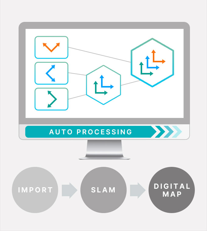
Converts raw sensor data into a digital map by estimating the
precise trajectory of the scanners using a technique called
SLAM (Simultaneous Localization and Mapping).- Fully Automatic
- Two versions available: real-time and precise
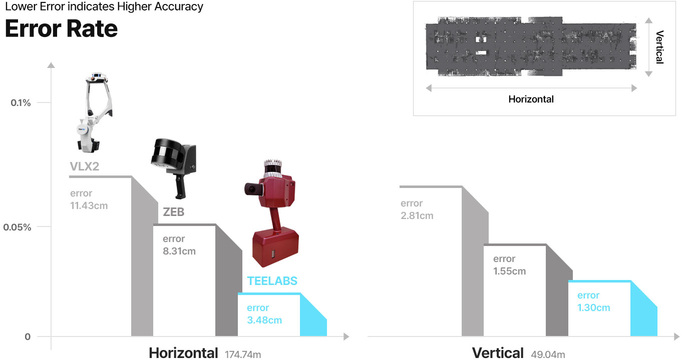
- Precision up to 0.01% (1cm error for 100m scan)
$ 1 9 K
TEE SCANNER

-
$ 4 9 KZEB HorizonBy GeoSLAM
- Category
- SLAM
- TechnoLogy
- Laser pulse
- Country
- United Kingdom

-
$ 6 0 KStencil ProBy Kaarta
- Category
- SLAM
- TechnoLogy
- Laser pulse
- Country
- United States

-
$ 1 5 0 KVLK (2nd generation)By NavVis
- Category
- SLAM
- TechnoLogy
- Laser pulse
- Country
- Germany

Maps created using TeeLabs' mapping kit are 2-3 times more precise than those produced by similar products
in the industry.


